


 Bathymetric surveying plays a crucial role in understanding and managing the underwater
environment. By accurately mapping the seabed and water depth, bathymetric data supports a
wide range of applications essential for sustainable marine development, navigation safety,
and environmental conservation.
Bathymetric surveying plays a crucial role in understanding and managing the underwater
environment. By accurately mapping the seabed and water depth, bathymetric data supports a
wide range of applications essential for sustainable marine development, navigation safety,
and environmental conservation.
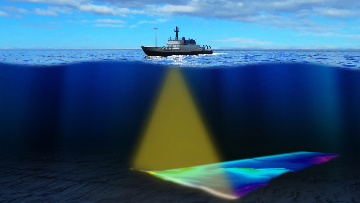 Multi-beam surveys are used to gather detailed information about the features on the seabed by measuring multiple depths from a single transducer array at high resolution. The result is a highly accurate 3D picture of the sea floor.
It has many added advantages over the single beam surveys. It provides higher resolution data as per the International Hydrographic Organization (IHO) standards and is more time efficient, has less errors and captures additional data such as the seabed texture and type.
Multi-beam surveys are used to gather detailed information about the features on the seabed by measuring multiple depths from a single transducer array at high resolution. The result is a highly accurate 3D picture of the sea floor.
It has many added advantages over the single beam surveys. It provides higher resolution data as per the International Hydrographic Organization (IHO) standards and is more time efficient, has less errors and captures additional data such as the seabed texture and type.
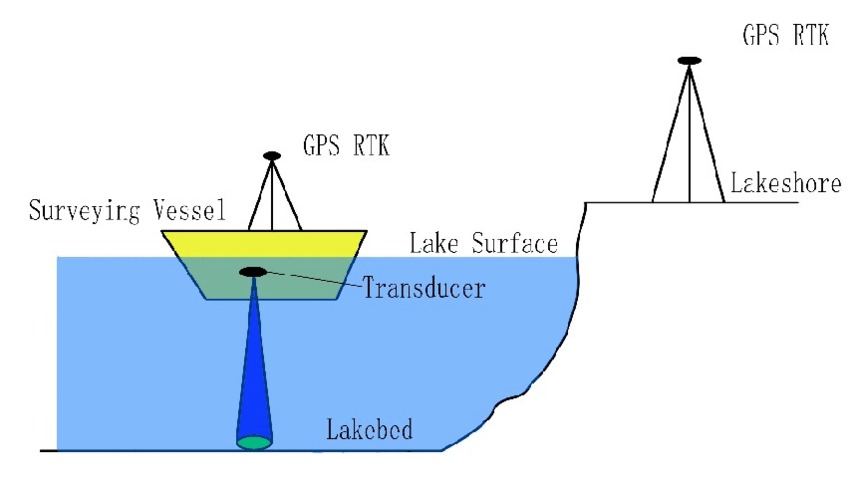 In single-beam bathymetry, an echo sounder is used to measure the depth by sending out an acoustic signal. This does not provide an image as detailed as one that is produced by multibeam bathymetry.
Even though Multibeam technology has largely superseded single beam, single beam still remains a valid methodology for surveying. For shallow water environments where the time required to achieve 100% in sonification with a multibeam sonar is excessive or beyond a client’s budget, single beam is used.
In single-beam bathymetry, an echo sounder is used to measure the depth by sending out an acoustic signal. This does not provide an image as detailed as one that is produced by multibeam bathymetry.
Even though Multibeam technology has largely superseded single beam, single beam still remains a valid methodology for surveying. For shallow water environments where the time required to achieve 100% in sonification with a multibeam sonar is excessive or beyond a client’s budget, single beam is used.
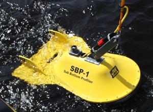 Sub-bottom profiling systems identify and measure various marine sediment layers that exist below
the sediment/water interface. These acoustic systems use a technique that is similar to single beam
echo sounders. A sound source emits an acoustic signal vertically downwards into the water and a
receiver monitors the return signal that has been reflected off the seafloor. Some of the acoustic
signal will penetrate the seabed and be reflected when it encounters a boundary between two layers
that have different acoustic impedance. The system uses this reflected energy to provide
information on sediment layers beneath the sediment-water interface.
Sub-bottom profiling systems identify and measure various marine sediment layers that exist below
the sediment/water interface. These acoustic systems use a technique that is similar to single beam
echo sounders. A sound source emits an acoustic signal vertically downwards into the water and a
receiver monitors the return signal that has been reflected off the seafloor. Some of the acoustic
signal will penetrate the seabed and be reflected when it encounters a boundary between two layers
that have different acoustic impedance. The system uses this reflected energy to provide
information on sediment layers beneath the sediment-water interface.
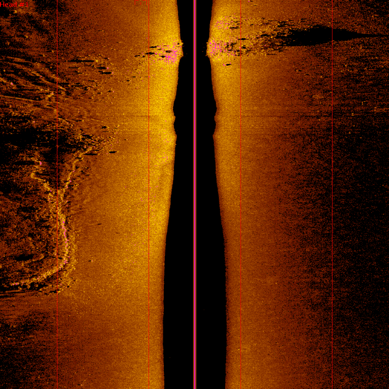 Side Scan Sonar is a category of sonar systems used to create an image of the ocean floor. This
image can be of very high quality, and can discern objects within the scan area with clarity,
regardless of the murkiness of the water. The scan is done by a “tow fish”, or using a side
mounted transducer, which is positioned in the water off the side of the survey vessel. The
tow fish sends and receives soundwaves, which are then processed by a computer.
Side Scan Sonar is a category of sonar systems used to create an image of the ocean floor. This
image can be of very high quality, and can discern objects within the scan area with clarity,
regardless of the murkiness of the water. The scan is done by a “tow fish”, or using a side
mounted transducer, which is positioned in the water off the side of the survey vessel. The
tow fish sends and receives soundwaves, which are then processed by a computer.
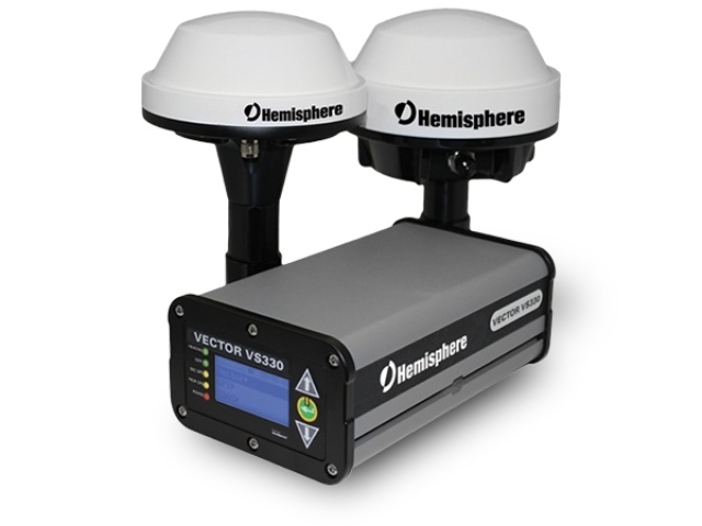 Hemisphere Differential Global Positioning System (DGPS) is a technology used for accurate positioning and navigation.
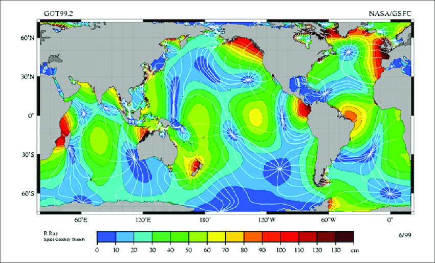 Tide observations are checking and predicting how the sea level changes over the course of the day. To do this, we use a tide gauge.
 Acoustic Doppler Current Profiler (ADCP) is an instrument used to measure water currents in oceans,
rivers, and lakes. It operates on the principle of the Doppler effect, which is the change in
frequency or wavelength of a wave in relation to an observer who is moving relative to the wave
source.
Acoustic Doppler Current Profiler (ADCP) is an instrument used to measure water currents in oceans,
rivers, and lakes. It operates on the principle of the Doppler effect, which is the change in
frequency or wavelength of a wave in relation to an observer who is moving relative to the wave
source.
 Ambient noise refers to the background noise present in a particular environment, typically
resulting from a combination of natural and human-generated sources.
Ambient noise refers to the background noise present in a particular environment, typically
resulting from a combination of natural and human-generated sources.
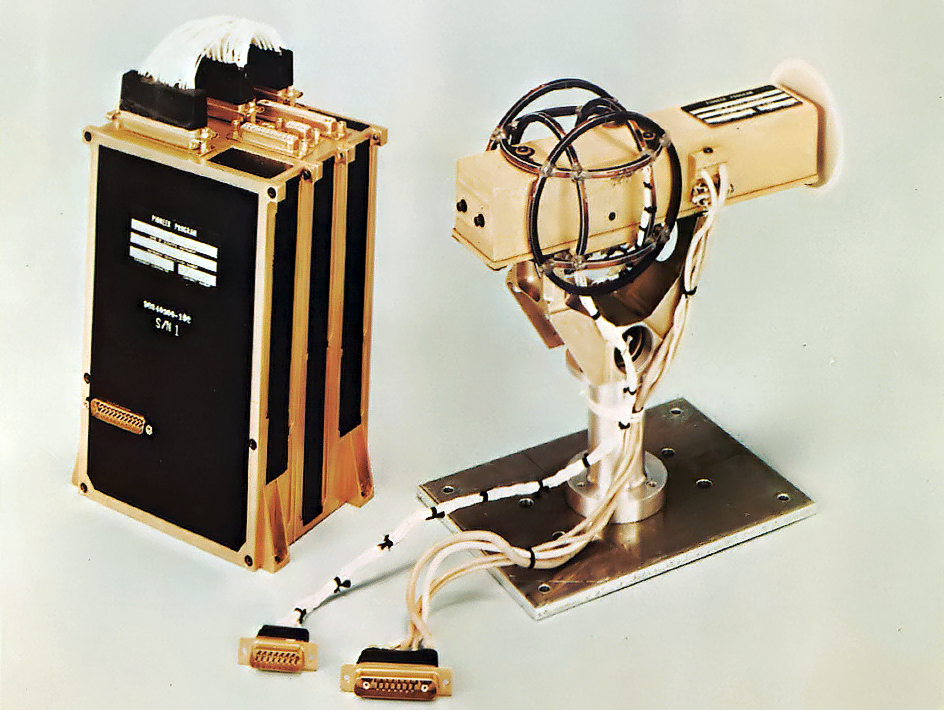 A magnetometer is an instrument used to measure the strength and/or direction of magnetic fields.